Controlled existing state
Capture real geometry and the interfaces that matter to the project.

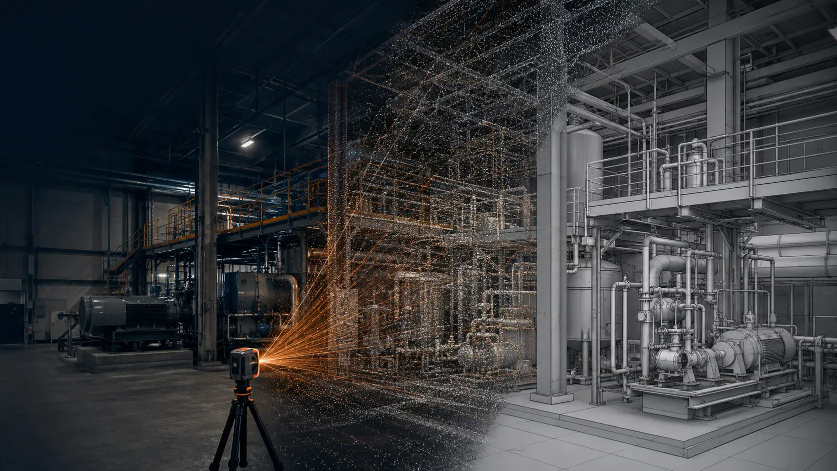
3D scanning · Reality capture · Scan-to-model
FORGIA turns existing facilities into accurate, usable digital assets for engineering, modification, layout and industrial documentation.
Discuss my requirementFrom field to engineering
FORGIA delivers 3D surveys and digital models of industrial buildings, structures, equipment and production environments. The result becomes a practical basis for engineering, revamping, layout and work preparation.
Capture real geometry and the interfaces that matter to the project.
Reduce missing dimensions, assumptions and return site visits.
Review the environment before modifying or installing equipment.
Retain a structured representation of the surveyed condition.
Our scope
Detail level, coordinate reference, survey areas and deliverables are agreed from the outset according to the intended use.
Capture of accessible volumes, structures, equipment and interfaces on site.
Registration, cleaning, alignment and organisation of surveyed data for technical use.
CAD reconstruction of the existing asset at the level of detail required for engineering and coordination.
Modelling of frames, platforms, buildings, access systems and key site structures.
Preparation of modifications, insertion of new equipment and clearance reviews.
Views, sections, layouts and packages suited to engineering, construction and maintenance teams.
FORGIA method
Agree the purpose, scope, reference system and expected level of detail.
Plan and survey the relevant areas, equipment and interfaces.
Register, clean and structure the point cloud in the project coordinate system.
Reconstruct the existing asset and add the information required for engineering.
Check consistency and hand over the agreed models, drawings and data.
Industrial applications
Prepare modifications to an existing line, workstation or item of equipment.
Insert machinery and review access, interfaces and clearances.
Document a workshop before relocation, reorganisation or duplication.
Provide usable geometry for assessment, reinforcement or adaptation.
Create a visual and geometric baseline for future interventions.
Output data
Handover formats are agreed at project launch according to your tools and objectives: point cloud, 3D model, 2D drawings, sections, layouts and a project handover package. FORGIA does not impose a generic format; each delivery is defined to remain directly usable by your teams.
FORGIA projects
This gallery will be completed with your actual project imagery: site condition, point-cloud extract, resulting 3D model and delivered drawings. No generic visual will be presented as a client project.
Images of the real context and 3D survey.
View of the consolidated, checked survey data.
View of the reconstructed and organised 3D model.
Drawings, sections or package handed over to the client.
Reality capture & scan-to-model
Tell us which area needs surveying, how the model will be used and which deliverables you require. FORGIA will define the right scope with you.
Request a quote